For all your Closed Circuit Rebreather Technical Diver Training
Open Circuit Training and Equipment Sales
Open Circuit Training and Equipment Sales
Diver loading the Amphora into the basket
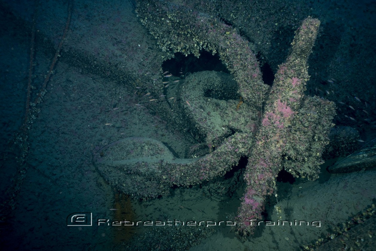
Over the past years, the University of Malta together with the Superintendence of Cultural Heritage has conducted a number of systematic remote sensing surveys off the coasts of the Maltese Islands. The strategic aim of this survey is to create a detailed map of archaeological sites located on the seabed off Malta and Gozo. using state of the art sonar technologies large areas are surveyed and objects identified and logged. Sites vary in size, state of preservation as well as in date.
Would you like to see more? Go to the page HMS Britannic Expedition.


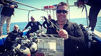
Simply living the dream, one dive at a time !! This year has been busy with projects in Malta including a couple for National Geographical.... read more »
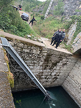
Congratulations to everyone that completed their CCR Rebreather Full Cave class this last two weeks in Cave Country France ???? Living the dream, one dive at a time !! #rebreatherprotraining #TDI... read more »